Precision Land Surveying Solutions You Can Trust
Delivering accurate, reliable, and professional land surveying services across Kerala using advanced surveying equipment and experienced professionals.
Kerala's Benchmark in Precision Surveying
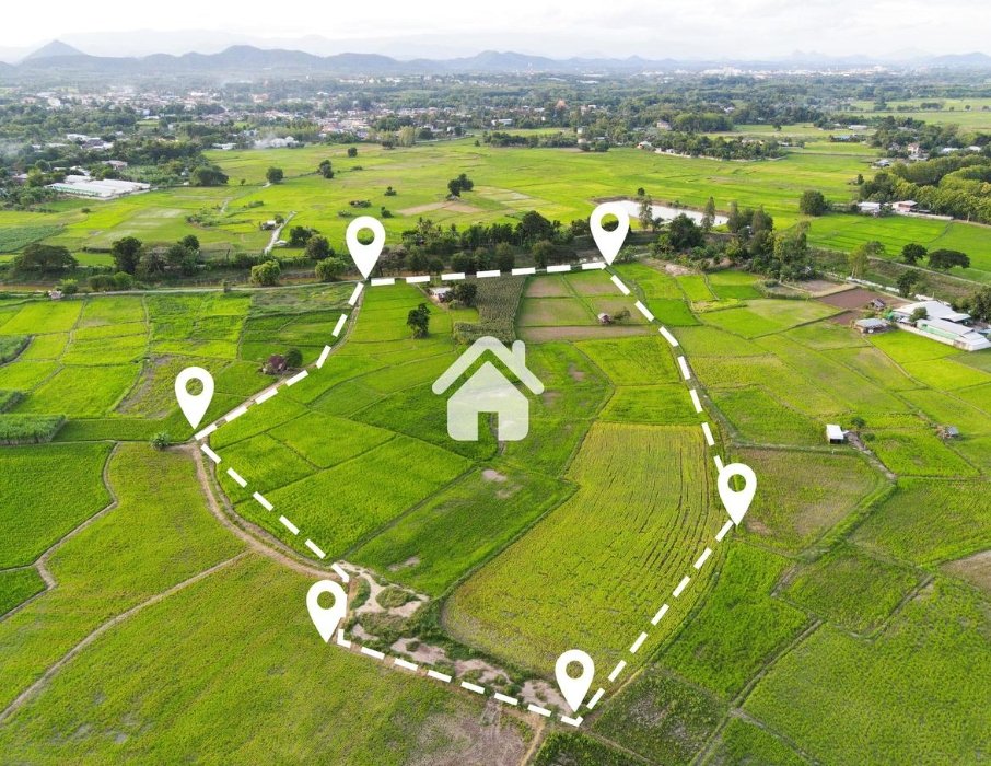
Calibre Survey is a premier professional land surveying firm based in Calicut, Kerala. We specialize in offering highly accurate, technology-driven surveying solutions for residential, commercial, industrial, and infrastructure developments across South India.
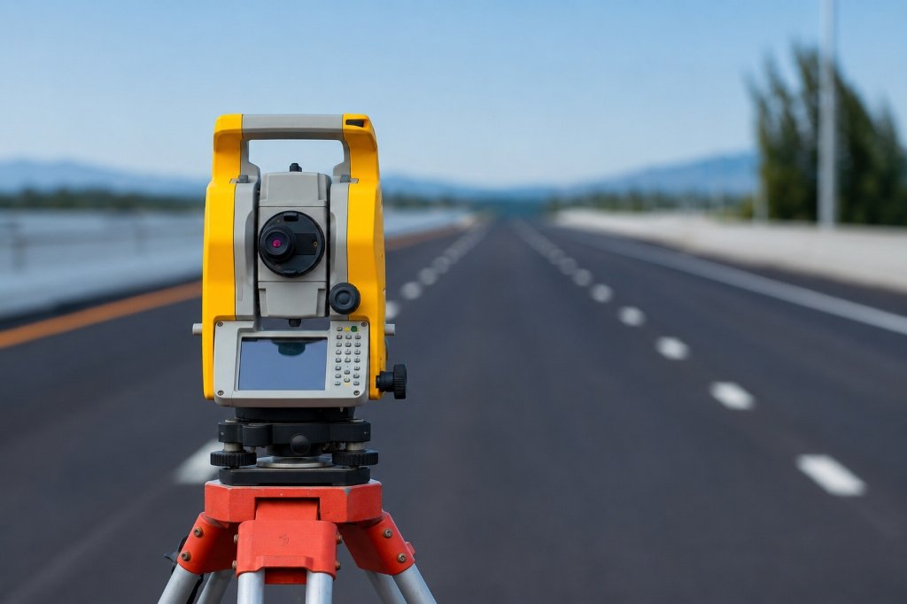
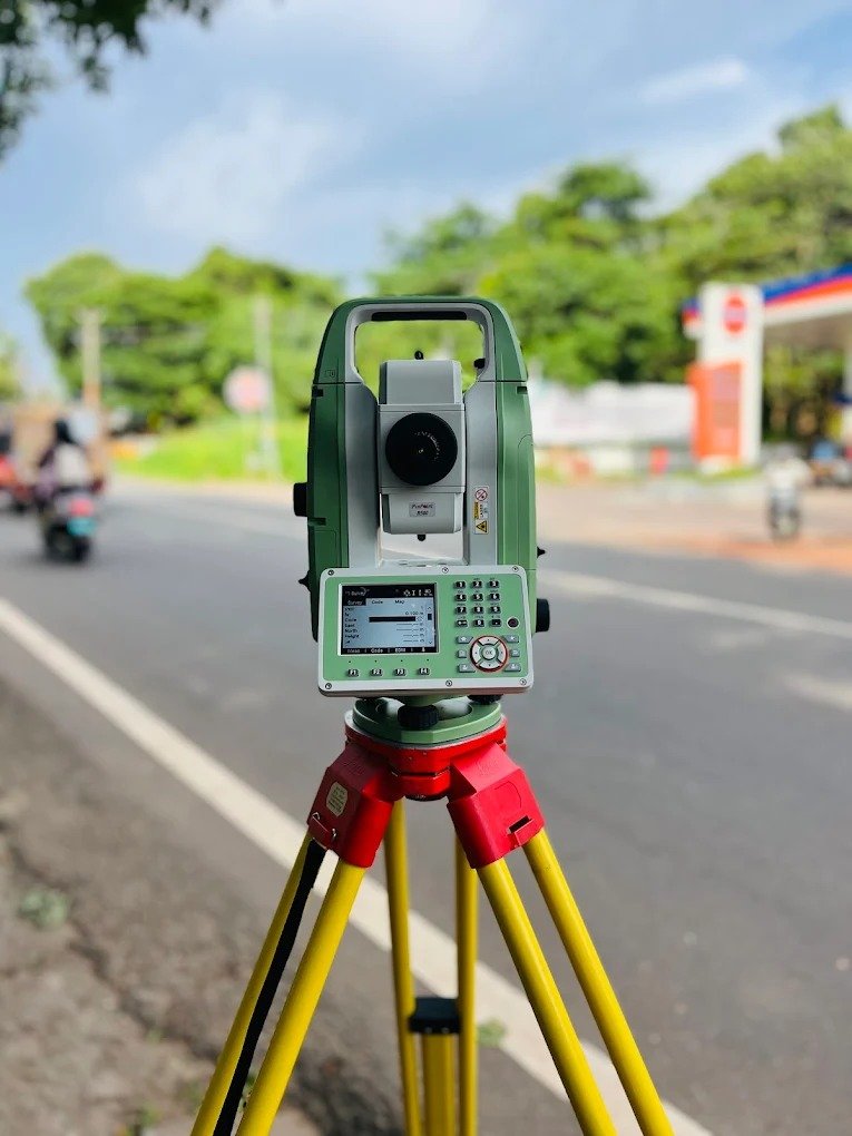
Equipped with state-of-the-art robotic Total Stations, high-precision GNSS RTK receivers, and advanced CAD processing software, our team of seasoned survey engineers ensures every millimeter of land is measured with uncompromised exactness.
Our Premium Land Surveying Services
Tailored engineering surveying solutions delivering uncompromising accuracy for property owners, architects, civil engineers, and infrastructure developers.

Topographical & Area Survey
Complete 3D surface mapping detailing natural elevation contours, boundary lines, existing structures, trees, utilities, and land gradients essential for architectural planning.
- High accuracy contour mapping
- Boundary & acreage determination
- 3D digital terrain models (DTM)
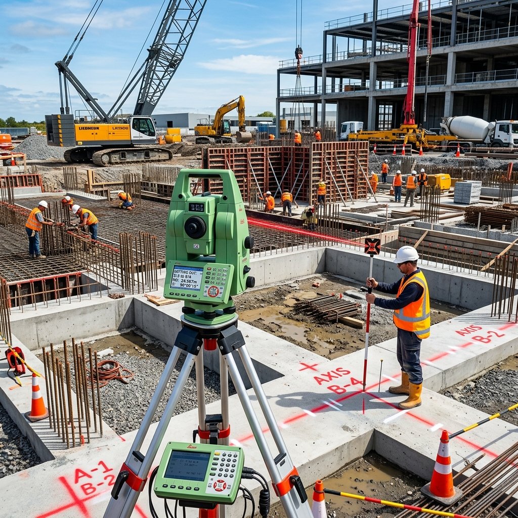
Building Setting Out
Transferring architectural design blueprints precisely onto physical ground. Marking exact grid axes, column positions, foundation boundaries, and floor levels on construction sites.
- Column & foundation grid lines
- Level control & bench marking
- Structural axis verification
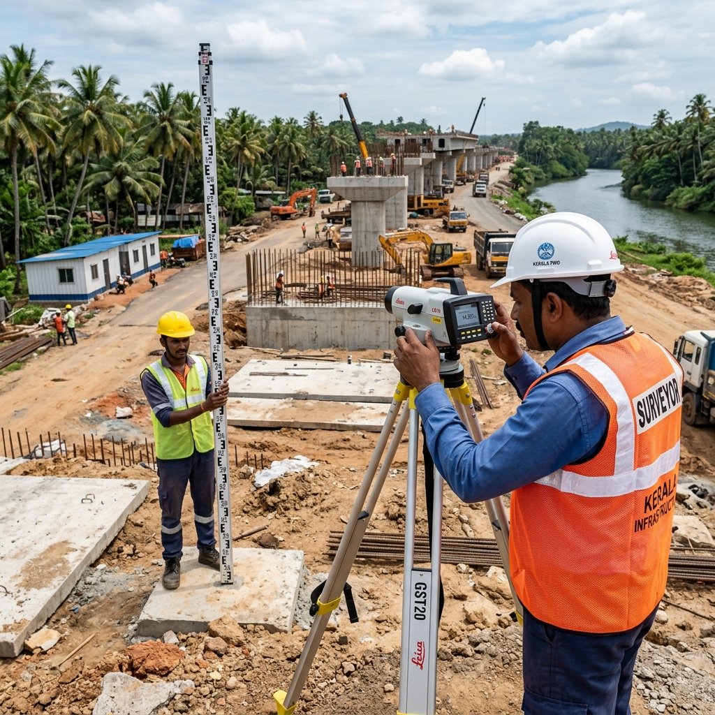
Contouring & Levelling
High-accuracy ground height measurement and cut-and-fill volume estimations for earthworks, slope stability, drainage design, and land development projects.
- Grid levelling & bench marks
- Earthwork volume calculations
- Drainage & slope analysis
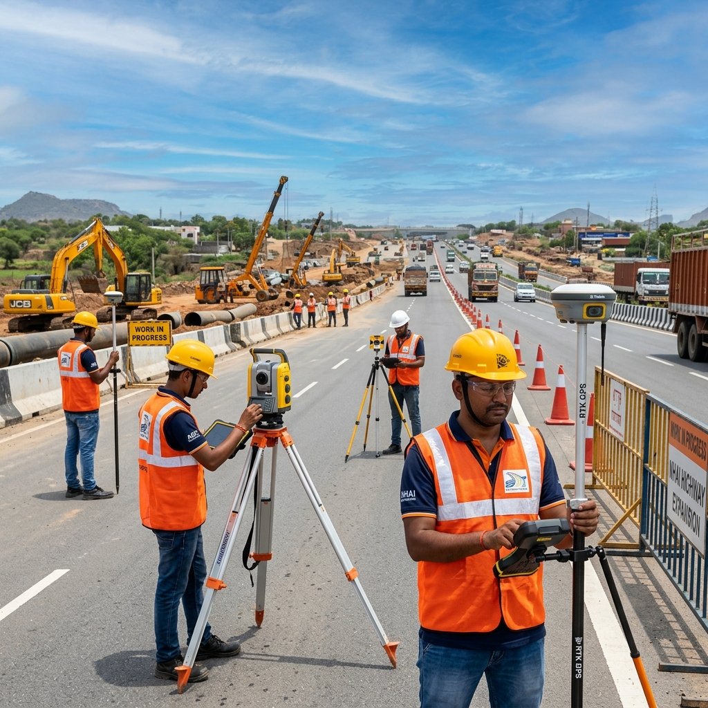
Road & Pipeline Survey
Linear corridor mapping, longitudinal sections, cross-sections, and alignment surveys for highways, municipal roads, water pipelines, and utility infrastructure networks.
- Corridor longitudinal sections
- Right-of-Way (ROW) mapping
- Underground pipeline alignment
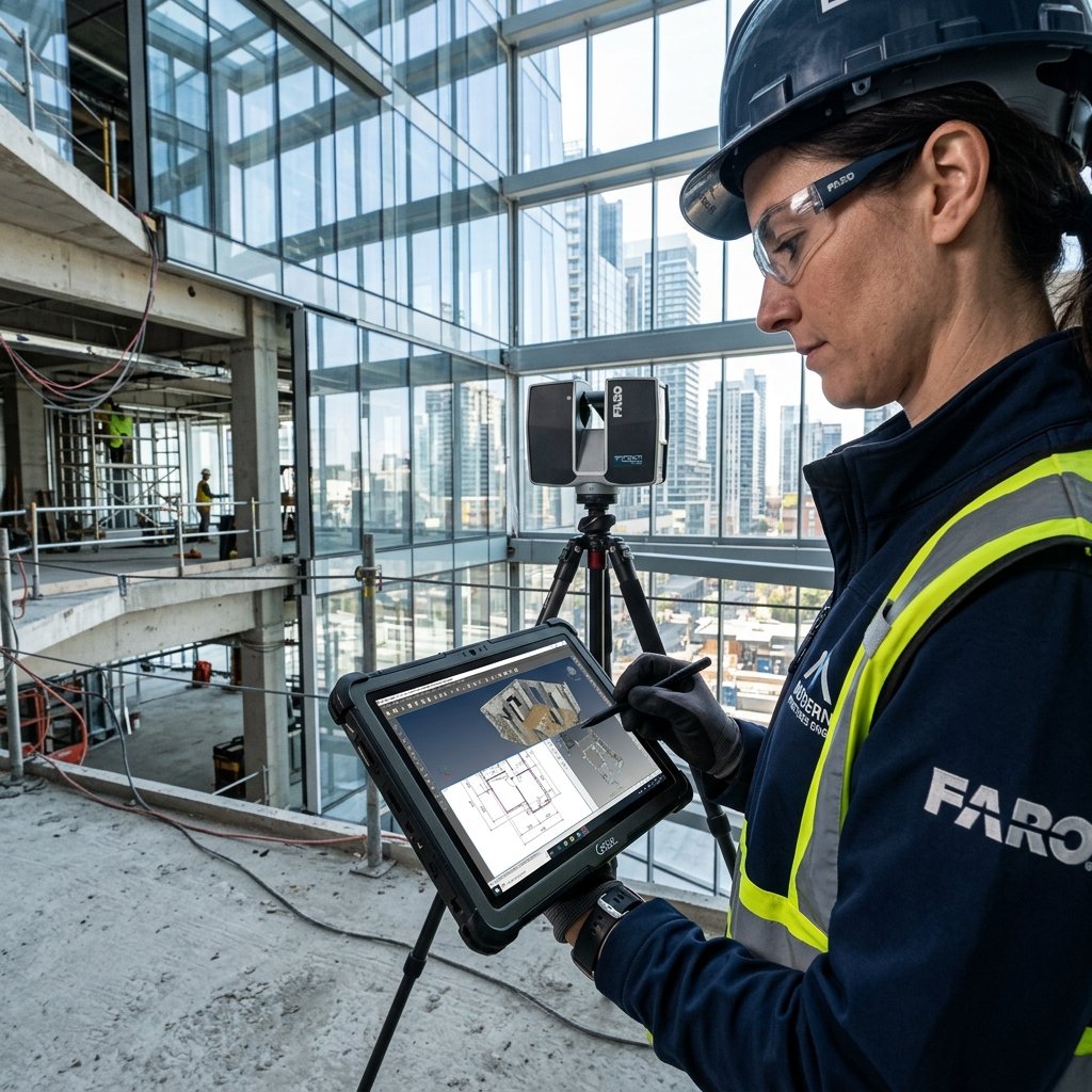
Redrawing Plan of Existing Building
As-built architectural surveys converting physical built structures into precise digital 2D/3D CAD plans. Essential for renovations, structural audits, legal approvals, and extensions.
- As-built floor plans & elevations
- Laser distance dimensional verification
- Architectural CAD digitization
Need Tailored Surveying Solutions in Kerala?
Speak directly with our Chief Surveying Engineer for custom site requirements, boundary disputes, or large scale infrastructure surveys.
Call +91 949 75 25 272Engineered for Absolute Precision
Why land owners, property developers, and contractors across Calicut and Kerala depend on our expertise.
High Precision Surveying
Eliminate costly construction mistakes with high accuracy powered by laser EDM sensors and multi-constellation RTK GNSS technology.
Modern Survey Equipment
We deploy high-end robotic Total Stations, electronic digital levels, and advanced CAD mapping software maintained to strict calibration standards.
Experienced Surveyors
Our team comprises qualified civil survey engineers with over a decade of field experience handling Kerala's varied terrain conditions.
Accurate Reports
Receive comprehensive, easy-to-read CAD drawings, DWG/DXF files, PDF plans, and certified coordinate reports ready for municipal submissions.
Timely Project Delivery
We respect project deadlines. Rapid site mobilization and fast digital report turnarounds ensure your project stays right on schedule.
Reliable Customer Support
Dedicated post-survey support to assist architects, structural engineers, and land owners with queries or plan modifications.
Advanced Total Station & RTK GPS Equipment
At Calibre Survey, accuracy begins with superior technology. We utilize industry-grade robotic Total Stations and high-precision electronic distance meters to guarantee flawless field data collection.
"Advanced optical sensors combined with rigorous calibration ensure every measurement meets national engineering standards."
Our Streamlined Surveying Process
From initial client consultation to final CAD report delivery, our methodical workflow ensures maximum efficiency and accuracy.
Client Consultation
We discuss your specific project goals, site location, land boundary details, and required survey outputs (CAD, PDF, 3D DTM).
Site Inspection
Pre-survey reconnaissance to assess terrain topography, benchmark availability, vegetation cover, and establish reference control stations.
Field Survey
Deploying Total Stations and GNSS RTK rovers to collect precise spatial coordinates, boundary corners, features, and surface elevations.
Data Collection
Raw observations are transferred from digital instruments into secure data collectors, ensuring zero manual entry discrepancies.
Processing & Analysis
Engineering software computation, traverse adjustments, coordinate calculations, boundary reconciliation, and CAD plan drafting.
Final Survey Report
Quality check verification and formal delivery of certified DWG CAD drawings, PDF maps, and physical hardcopy reports to the client.
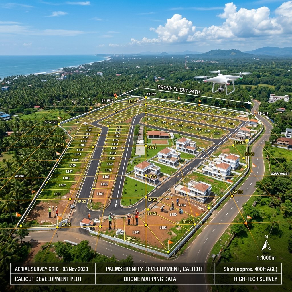
Featured Surveying Projects
Explore our recent land surveying and setting-out projects completed across Calicut and Kerala.
Trusted by Engineers & Property Owners
Here is what leading civil contractors, architects, and real estate developers say about Calibre Survey.
"Calibre Survey executed the setting out work for our multi-story commercial project in Calicut with exceptional precision. Their Total Station data was reliable and accurate, allowing our foundation team to proceed without any delays."
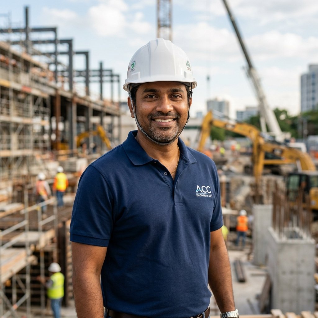
Er. Rajesh Kumar
Senior Project Engineer, Malabar Infra
"We commissioned Calibre Survey for a complex topographical & contour survey of a 15-acre sloped property in Wayanad. The CAD drawings were detailed, clear, and delivered well before our deadline."

Ar. Ananya Nair
Lead Architect, Calicut Design Studio
"Outstanding service! Their boundary verification and road survey for our residential township solved a long-standing boundary query. High level of professionalism and prompt communication."

Faisal Rahman
Managing Director, Crest Developers
Everything You Need to Know About Surveying
Got questions about land surveying in Calicut? Here are clear answers to common inquiries.
A Topographical Survey maps the physical contours, elevations, natural ground features, trees, existing structures, and boundary lines of a plot. It is mandatory for architects and structural engineers to design accurate building foundations, drainage systems, and earthwork levelling plans.
Building Setting Out involves transferring structural grid lines, column axes, and foundation markers from paper or CAD drawings directly onto physical ground. We use high-precision robotic Total Stations to mark exact coordinates on site, ensuring the building is erected strictly within boundary lines and engineered axes.
Field measurement for a standard residential plot (up to 20-50 cents) usually takes 1 day. Digital CAD drawing processing and quality control verification take 1 to 2 business days. Larger infrastructure or topographical surveys will be scheduled based on plot acreage.
We provide editable AutoCAD (.DWG / .DXF) format files, high-resolution PDF print-ready plans, and coordinate CSV files. We can also provide physical scaled prints upon request.
Yes. Our team conducts boundary verification surveys based on official deed measurements and benchmark points to establish exact boundary lines and resolve land overlaps.
Simply call us at +91 949 75 25 272, email your plot details to calibresurveying@gmail.com, or fill out the contact form below with site location and approximate land area. We will provide a transparent quote within hours.
Schedule Your Land Survey Today
Connect with Calibre Survey for immediate site consultation, price estimates, or technical queries. Our team is available across Calicut and all districts of Kerala.
Request a Free Quote
Fill in your project details and our team will get back to you promptly.